dataset
Domaines
Harvested
Provided by
Type of resources
Available actions
Topics
Keywords
Contact for the resource
Provided by
Years
Formats
Representation types
Update frequencies
status
Service types
Scale
Resolution
-

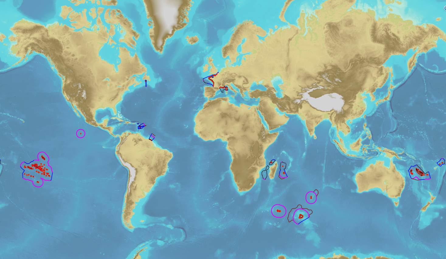
The product “Maritime limits and boundaries” (French: “Délimitations maritimes”) gathers all the elements used for the definition of the maritime spaces under the French sovereignty or jurisdiction through the world. Those spaces are defined by the Ordonnance n° 2016-1687 of 8 December 2016 relating to maritime spaces under sovereignty or jurisdiction of the French Republic. This ordonnance is the transcription in the French legislation of the United Nations Convention on the Law of the Sea (UNCLOS) which was signed in Montego Bay (Jamaica) on 10 December 1982 end ratified by France on 11 April 1996. These elements of maritime limits and boundaries come from the limits computed by Shom on the basis of International Law, from the international agreements relating to maritime boundary and the technical conventions ratified between France and other States, from the decisions of international juridical bodies, from the recommendations of the Commission of the Limits of the Continental Shelf (UNO) or from unilateral claims from France in the absence of agreement. The elements are divided into seven themes: 1- Straight baselines 2- Outer limits of the territorial sea (12 nautical miles) 3- Outer limits of the contiguous zone (24 nautical miles) 4- Outer limits of the exclusive economic zone (200 nautical miles) 5- Maritime boundaries established by a bilateral agreement or decided by an international juridical body 6- Maritime boundaries unilaterally claimed by France in the absence of agreement 7- Outer limit of the continental shelf beyond 200 nautical miles December 2022 version
-
-
-
-
-

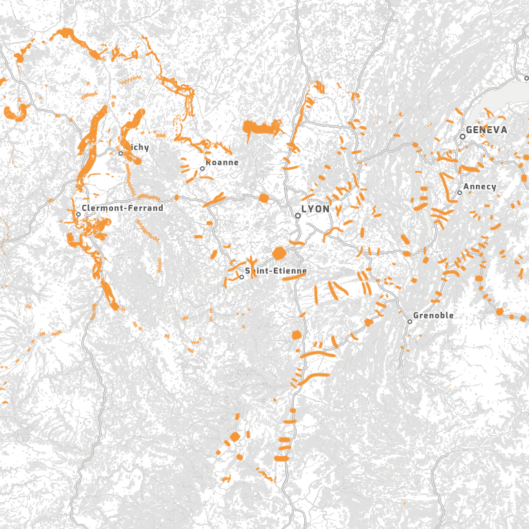
« Extrait de l’art. R. 371-19. du code de l’environnement – III. – Les corridors écologiques assurent des connexions entre des réservoirs de biodiversité, offrant aux espèces des conditions favorables à leur déplacement et à l’accomplissement de leur cycle de vie. » « Les corridors écologiques peuvent être linéaires, discontinus ou paysagers. » Dans le SRADDET Auvergne-Rhône-Alpes, les corridors écologiques peuvent aussi assurer des connexions entre espaces perméables relais.
-
-

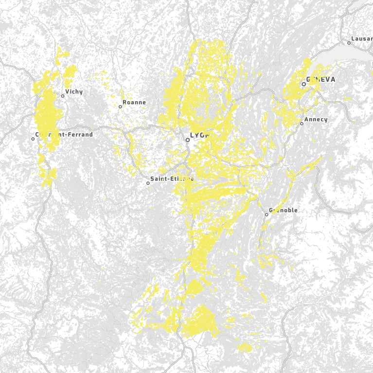
Les espaces agricoles sont un support essentiel de la qualité et de la structuration de la Trame verte et bleue d'Auvergne-Rhône-Alpes sur le long terme. Ils participent de la fonctionnalité écologique du territoire d'Auvergne-Rhône-Alpes notamment en pouvant être support de corridors. Ils sont déterminés à partir de la base de données Corine Land Cover (2016).
-

-
 DatARA