 DatARA

Domaines
Harvested
Provided by
Type of resources
Available actions
Topics
Contact for the resource
Provided by
Years
Formats
Representation types
Update frequencies
status
Service types
Scale
Resolution
-
Geoplateforme - Geocodage service
-
Geoplateforme - View service (WMS) for Tile Map data
-
Geoplateforme - Metadata Download service
-
Geoplateforme - Direct Download service
-
Geoplateforme - Geoplateforme route calculation service.
-
Geoplateforme - Altimetry calculation service.
-
La base de données ROUTE 500® contient l'intégralité du réseau routier classé caractérisé par un certain nombre de propriétés et complété par les éléments du réseau routier secondaire permettant la desserte des chefs-lieux de communes et des principales infrastructures de transport.
-
**Données intermédiaires** *OCS GE*, à date, sur le département **31** pour commentaires.
-
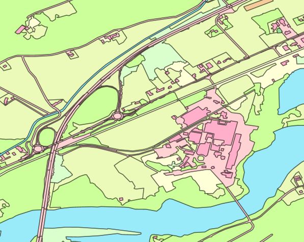
Hydrographie des Ardennes
-
Le produit Parcellaire Express (PCI) contient les informations relatives au parcellaire cadastral. Il s’agit d’une base de données bidimensionnelle. Le produit Parcellaire Express (PCI) ne se substitue pas au plan cadastral dématérialisé. C'est un assemblage de ce plan sur le territoire national couvert par le cadastre, qui utilise les fichiers PCI Vecteur de la DGFiP. Le PCI de la DGFiP tend à devenir PCI Vecteur sur tout le territoire. Le produit Parcellaire Express (PCI) est constitué d’objets géographiques simples (objets vecteurs ponctuels, surfaciques ou multi-surfaciques)et d'une table attributaire.