 DatARA
series
Domaines
Harvested
Provided by
Type of resources
Available actions
Topics
Provided by
Years
Formats
Representation types
Update frequencies
status
Scale
Resolution
-
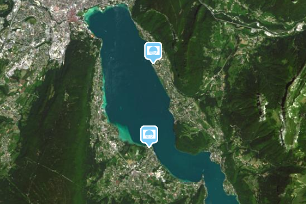
Les lauréats du label sont engagés dans une démarche de développement durable, visant à améliorer la gestion de leur site, la qualité de l’eau et du milieu, la gestion des déchets et à proposer aux usagers des activités d’éducation à l’environnement. Déployé en France depuis 1985 par l’association Teragir, le label Pavillon Bleu / Blue Flag est le premier label de tourisme durable pour les plages et les ports de plaisance en France et dans le monde.
-
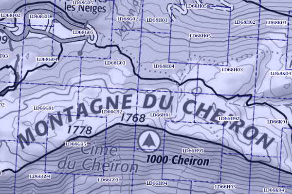
Le carroyage DFCI est un maillage géographique utilisé en France par les acteurs de la Défense des forêts contre les incendies (DFCI).
-
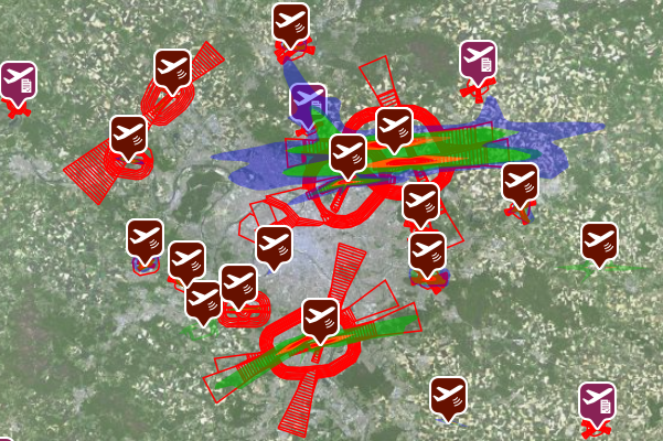
**Plan de gêne sonore (PGS)** Visualisation des plans de gêne sonore (PGS) aux abords des aéroports. Les plans de gêne sonore délimitent des zones dans lesquelles les riverains peuvent bénéficier d’une aide à l’insonorisation de leur logement Plan de gêne sonore (PGS). Téléchargement des documents d’approbation des plans de gêne sonore (PGS). Les plans de gêne sonore délimitent des zones aux abords des aéroports dans lesquelles les riverains peuvent bénéficier d’une aide à l’insonorisation de leur logement. **Plan d’exposition au bruit (PEB)** Visualisation cartographique des plans d’exposition au bruit (PEB). Le PEB est destiné à encadrer l’urbanisation dans les zones de bruit au voisinage des aéroports. Plan d’exposition au bruit (PEB). Téléchargement des documents d’approbation des plans d’exposition au bruit (PEB). Le PEB est destiné à encadrer l’urbanisation dans les zones de bruit au voisinage des aéroports. **Plan de servitudes aéronautiques (PSA)** Les plans de servitudes aéronautiques définissent les servitudes destinées à assurer la sécurité des approches et des décollages des aéronefs aux abords des aérodromes et à faciliter la maintenance des équipements de ceux-ci. Plan de servitudes aéronautiques (PSA). Téléchargement des documents d’approbation des plans de servitudes aéronautiques (PSA). Les plans de servitudes aéronautiques définissent les servitudes destinées à assurer la sécurité des approches et des décollages des aéronefs aux abords des aérodromes et à faciliter la maintenance des équipements de ceux-ci.
-
Déployé en France depuis 1998 par l’association Teragir, le label Clef Verte / Green Key est le premier label de tourisme durable pour les hébergements touristiques et les restaurants en France et dans le monde.
-
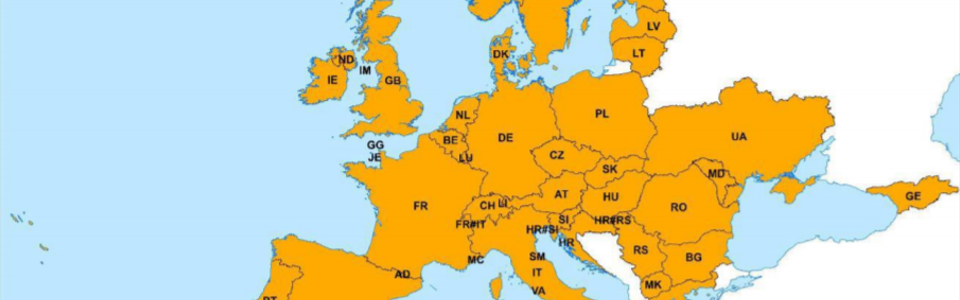
Ce produit bénéficie d'une richesse thématique (transports, hydrographie, zones bâties, toponymie, végétation pour ERM, point élevés) déclinée suivant les échelles de représentation. EuroGlobalMap® (EGM) couvre 47 pays (Albanie, Allemagne, Andorre, Autriche, Belgique, Bosnie-Herzégovine, Bulgarie, Chypre, Croatie, Danemark, Espagne, Estonie, Finlande, France, Géorgie, Gibraltar, Grande Bretagne, Grèce, Hongrie, Irlande, Irlande du Nord, Islande, Italie, Kosovo, Lettonie, Liechtenstein, Lituanie, Luxembourg, Macédoine du Nord, Malte, Moldavie, Monaco, Montenegro, Norvège, Pays-Bas, Pologne, Portugal, Roumanie, Saint-Marin, Serbie, Slovaquie, Slovénie, Suède, Suisse, Tchéquie, Ukraine et Vatican).
-

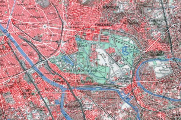
Le SCAN 100® est une série d’images cartographiques numériques géoréférencées immédiatement utilisables pour localiser et positionner des informations, repérer des interventions, saisir et mettre à jour des données métier, ainsi qu’habiller des documents pour des échelles de visualisation autour du 1 : 100 000. Cette base de données image répond à des besoins clairement identifiés en participant à une plus large diffusion de l’information géographique et en permettant à des néophytes d’appréhender rapidement et en toute simplicité les enjeux cartographiques auxquels ils sont confrontés.
-
La version numérique continue et géoréférencée des cartes anciennes de 1950. Les SCAN Historique® offrent la richesse et l'information temporelle de séries cartographiques historiques alliées à la simplicité d'usage d'un SCAN (image numérique continue, dallée et géoréférencée du territoire) pour répondre facilement à de nombreux besoins : archéologie (identification des sites), sylviculture (étude des forêts anciennes), hydrologie (évolution des cours d'eau), aménagement (étude d'impact, d'évolution), tourisme, etc. Le produit SCAN 50® Historique est obtenus par l’assemblage géoréférencé et dallé des cartes au 1 : 50 000 scannées. Ces cartes source ont été rédigées au 20ème siècle. Elles établissent l’état de la cartographie au 1 : 50 000 des territoires couverts à une date donnée. Par exemple, le SCAN 50® Historique années 1950 intègre toutes les cartes au 1 : 50 000 dans leur dernière édition disponible à la fin des années 1950 (1959). À titre d’exception, sur la France métropolitaine, 3 cartes plus récentes (mais proches temporellement parlant de la période fixée) ont été intégrées (1960, 1961 et 1963).
-
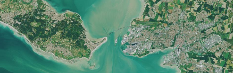
Les ortho-images issues de prises de vues satellitaires **ORTHO-SAT® Pléiades** La constellation de satellites Pléiades permet de disposer d'images combinant idéalement couverture large, haute résolution (50 cm) et importante fréquence de mise à jour : tout point du territoire national est survolé tous les trois à quatre jours, avec une résolution de 70 cm. L'agilité des satellites Pléiades leur permet d'acquérir en stéréo, ce qui autorise des applications variées telles la restitution en 3D, le calcul de modèles numériques de surface (MNS), etc... L'IGN assure l'ortho-rectification des images, pour constituer des "orthos satellites". L'exploitation des images issues de satellites donne une grande souplesse et permet notamment de disposer d'images très récentes et/ou à haute fréquence de renouvellement, idéales pour observer les évolutions des territoires. **ORTHO-SAT® SPOT** A l’aide des satellites SPOT6/7 opérés par Airbus Defence and Space, l’IGN et ses partenaires réalisent tous les ans une couverture du territoire métropolitain depuis 2014 et une couverture des régions d’outremer depuis 2015. Les images de résolution 1,5 m de ces millésimes annuels, accessibles librement aux acteurs institutionnels et parfaitement superposables au RGE, permettent un suivi régulier de l’évolution des paysages.
-
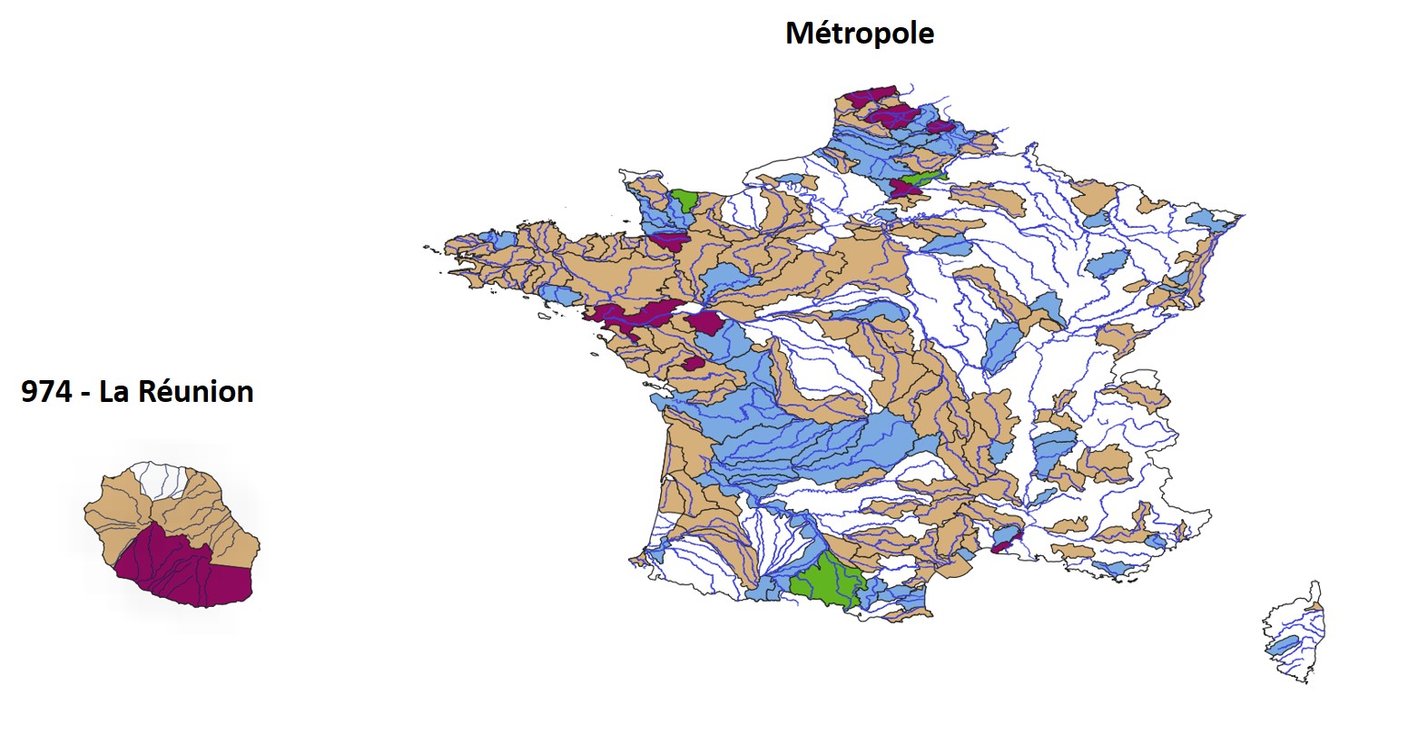
Le schéma d'aménagement et de gestion de l'eau (SAGE) est un outil de planification, institué par la loi sur l'eau de 1992, visant la gestion équilibrée et durable de la ressource en eau. Déclinaison du SDAGE à une échelle plus locale, il vise à concilier la satisfaction et le développement des différents usages (eau potable, industrie, agriculture, ...) et la protection des milieux aquatiques, en tenant compte des spécificités d'un territoire. Délimité selon des critères naturels, il concerne un bassin * versant hydrographique ou une nappe. Il repose sur une démarche volontaire de concertation avec les acteurs locaux. Il est un instrument essentiel de la mise en oeuvre de la directive cadre sur l'eau (DCE). A ce titre, 68 SAGE ont été identifiés comme nécessaires par les SDAGE approuvés en 2009 (période 2010-2015) et 62 SAGE ont été identifiés comme nécessaires par les SDAGE approuvés en 2015 (période 2016-2021) pour respecter les orientations fondamentales et les objectifs fixés par la DCE.
-
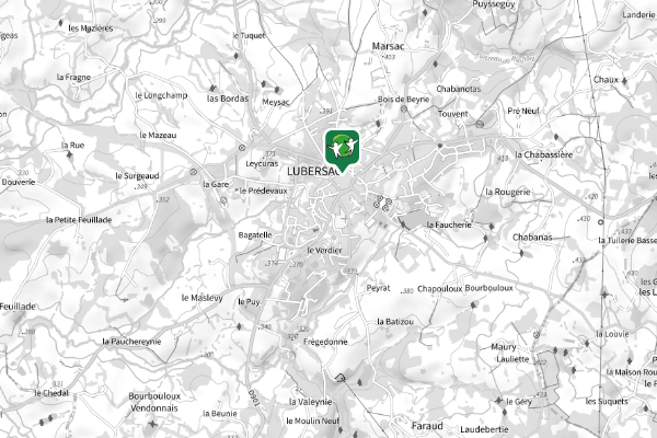
Stations services et assimilées dans le Cantal