 DatARA
ONF
Domaines
Harvested
Provided by
Type of resources
Available actions
Topics
Contact for the resource
Provided by
Years
Formats
Representation types
Update frequencies
status
Service types
Scale
-
fra
-
http://url.of.your.document
-
http://url.of.your.document
-
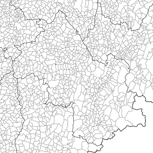
position gps des tiges désignées
-
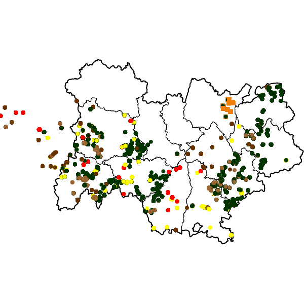
Point de départ d’un incendie de forêt et de végétation à Gillonnay Point de départ d’un incendie de forêt sur la commune de Gillonnay. Le relevé est une commande de la DDT auprès de l’ONF
-
Service WFS - Données issues de la carte d’aléa incendie réalisée en 2005 (ONF). Dans la couche de l’aléa synthétique l’aléa est défini au niveau communal par la formule indiquée en généalogie. Le relevé est une commande DDAF auprès de l’ONF.
-
Service WFS - Contour d’un incendie de forêt et de végétation à Eyzin Pinet Relevé de terrain du contour de l’incendie de forêt et de végétation qui a ont eu lieu sur les communes de Eyzin-Pinet, Choranche et Gillonnay en 2023.
-
Service WFS - Point de départ d’un incendie de forêt et de végétation à Gillonnay Point de départ d’un incendie de forêt sur la commune de Gillonnay. Le relevé est une commande de la DDT auprès de l’ONF
-
Service WFS - Contours des incendies de forêt et de végétation sur les communes de Roybon et de Saint-Ismier. Relevés de terrain des contour des incendies de forêt et de végétation qui ont eu lieu sur les communes de Roybon et de Saint-Ismier en 2016. Les relevés sont une commande de la DDT auprès de l’ONF
-
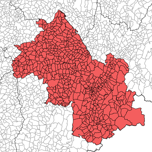
Données issues de la carte d’aléa incendie réalisée en 2005 (ONF). Dans la couche de l’aléa synthétique l’aléa est défini au niveau communal par la formule indiquée en généalogie. Le relevé est une commande DDAF auprès de l’ONF.